Container for the scroll indicator
(Will be hidden in the published article)
precision land management
GUIDE
Why do we need correction signals in agriculture and what is Real Time Kinematic?
Today, Precision Farming and the use of GNSS technology is inseparable. Information about weather, soil conditions and crop health is combined with network technology that allow farmers to improve their productivity.
GPS is often used as an umbrella term for satellite systems. However, this only refers to the American satellite system and the generic term is GNSS (Global Navigation Satellite System). Other examples are Europe’s Galileo, Russia’s GLONASS and China’s BeiDou satellite systems.
Why do you still need a correction signal in the agricultural sector?
Explained quite simply: The earth is surrounded by the atmosphere (ionospheric and tropospheric). On its way to earth, the satellite signal needs to pass through these spheres and gets deflected - which is one of the causes for a signal bias/error.

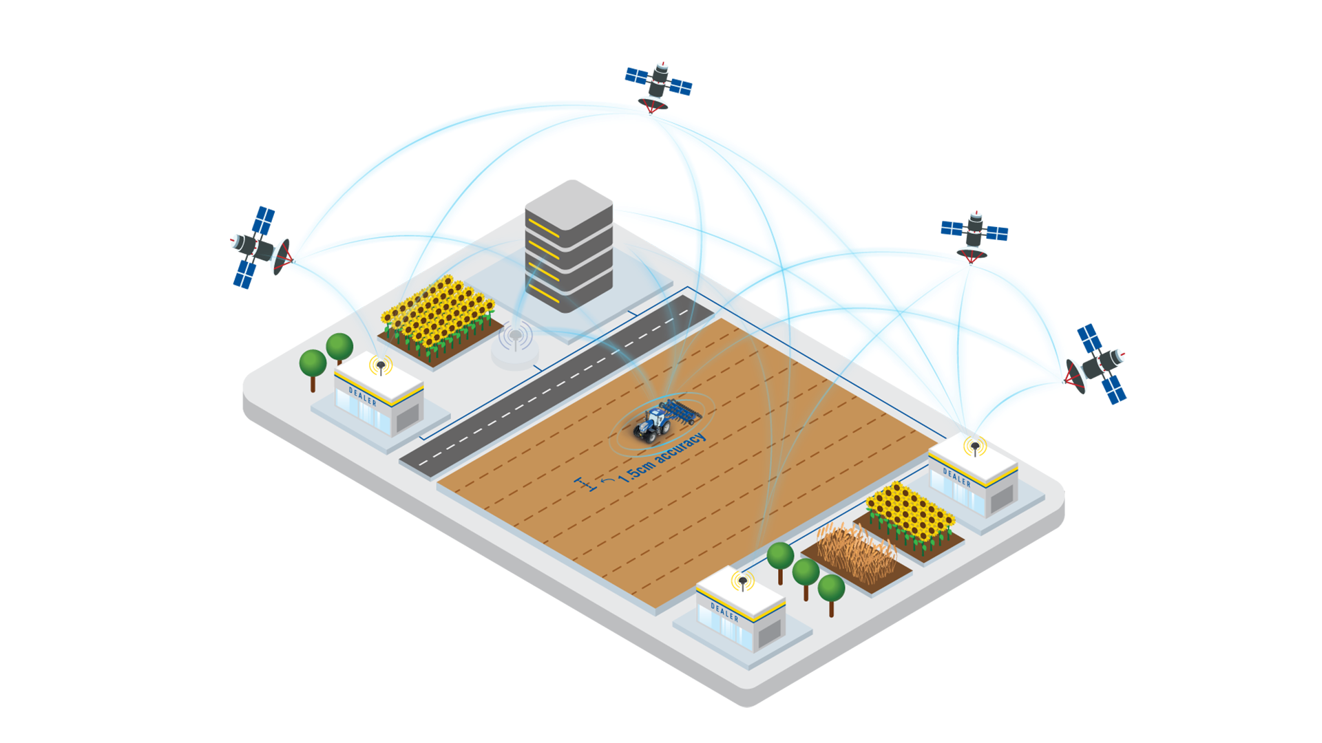
Therefore, the positioning without any correction is only around 3-10 m accurate. We know this from car navigation, for example. In agriculture, this is not enough and every centimeter counts, so we are using correction services to achieve up to 1.5 cm accuracy.

Due to the different accuracy requirements and technological diversity, different correction signals are recommended:

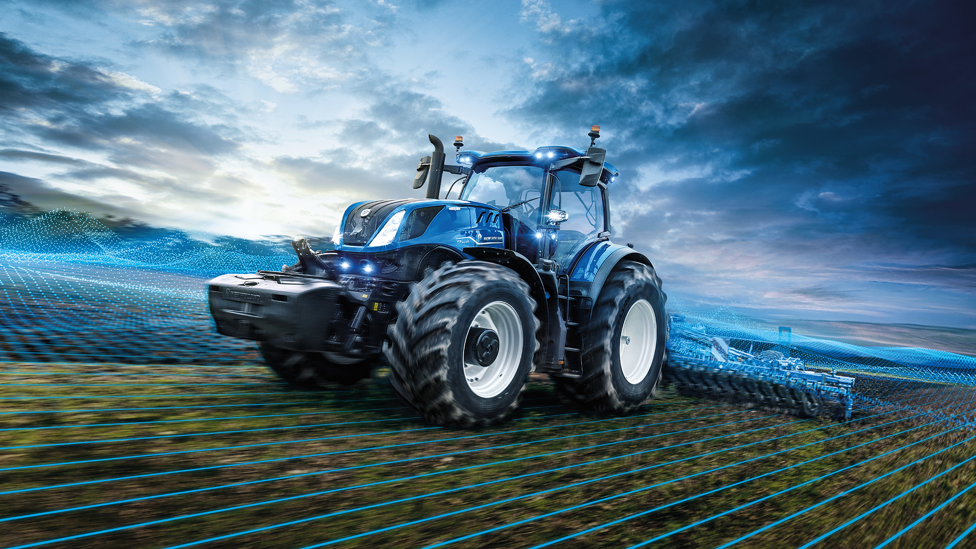
New Holland’s PLM RTK+ - How does it work?
Real-time kinematic (RTK) is a powerful technology that is used to provide highly accurate positioning and navigation data. At New Holland, we use a Europe-wide network of fixed base stations to provide our customers the best service without them having to invest in Single Reference Stations themselves
1
2
3
4
This is a continuously repeating process for as long as the machine is connected to our RTK data center.
PLM RTK+
PLM RTK+ is a subscription based RTK correction service, which delivers high quality modelled GNSS corrections to all users working inside the network boundary. Our specialized RTK services have a broad variety of applications: i.e. surveying, machine control, construction, unmanned aerial vehicles and precision farming.
Why settle for anything less than the best when it comes to:
- Automated steering
- Yield Mapping
- Precision Seeding
- Harvesting
- VRA or Section Control (spreading or spraying)
- Tillage
- Controlled Traffic Farming
- Field levelling
- Drainage
- In-row weeding
ADVANTAGES
- Reduce overlapping in tillage & soil preparation
- Save inputs in seeding
- Reduce fertiliser & pesticide inputs
- Increase productivity in harvesting
- Minimise soil compaction by using Controlled Traffic Farming
- Use high accuracy section control to automate
your applications
Improve water management by Field Levelling
Continue operations under poor visibility conditions
Reduce workload and one-sided body stress